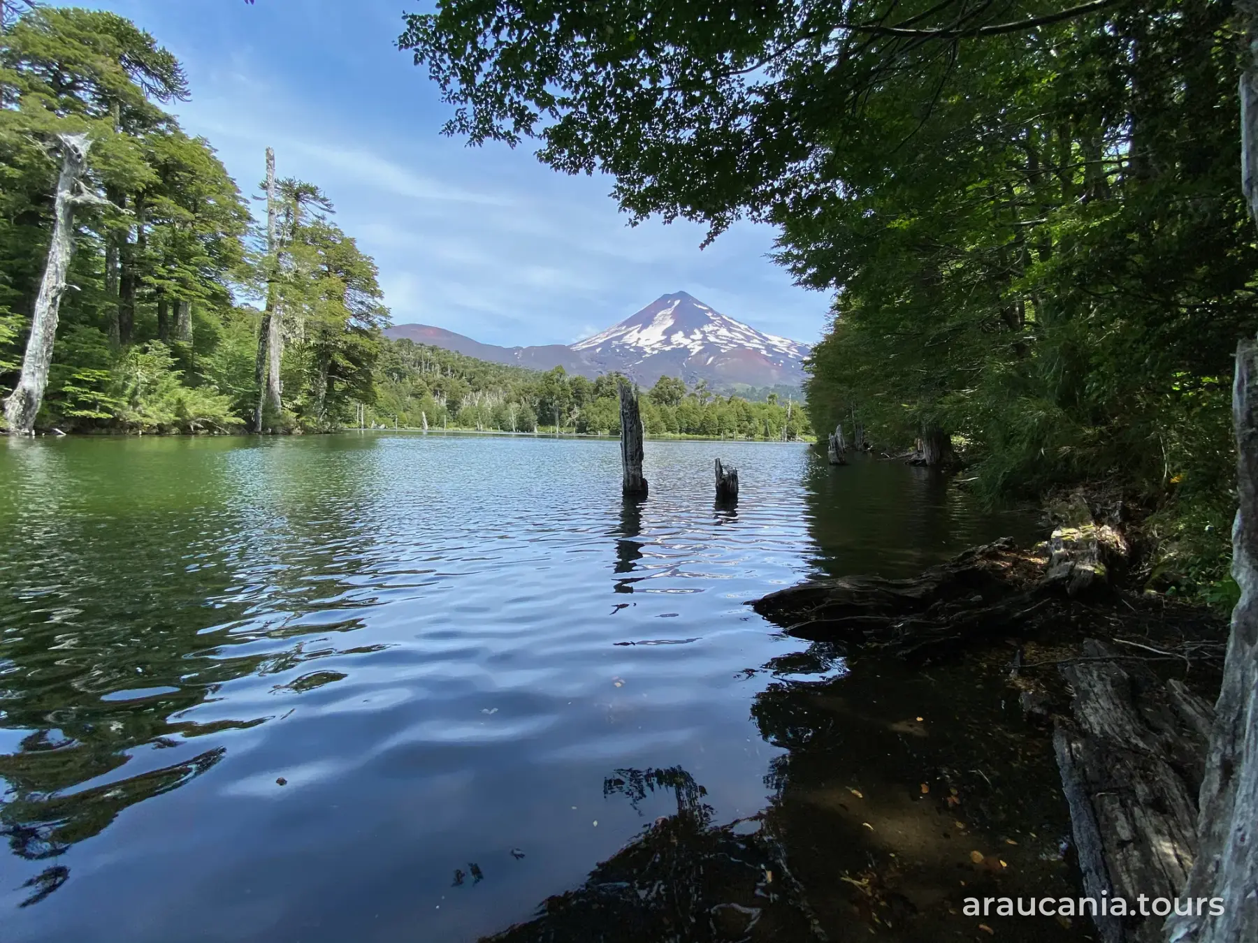

Hiking in Pucón: trails by level
In short
Pucón's hiking trails are mainly in Huerquehue and Villarrica national parks, where CONAF publishes the distance, duration and difficulty of each one, and in Santuario El Cañi, a private area 21 km along the international road (CONAF; santuariocani.cl). As of October 15, 2026, CONAF keeps the Quinchol and San Sebastián trails in Huerquehue closed until December 15, and Pichillancahue in Villarrica park until December 31.
This guide sorts Pucón's trails by level, using CONAF's own data, and tells you which ones are closed today.
Where to hike
- Huerquehue National Park: northeast of Pucón, home to the Los Lagos trail (source: CONAF). To get there, see How to get to Huerquehue National Park.
- Villarrica National Park: around the volcano, with several access sectors (source: CONAF). Its entrances are covered in Villarrica National Park: sectors and how to get there.
- Santuario El Cañi: a privately protected area run by Grupo de Guías Cañe, a community group from Pichares. It's at km 21 of the international road toward Huife, on the right (source: santuariocani.cl).
- Short walks: Ojos del Caburgua and El Claro Waterfall have trails under a kilometer; details in Ojos del Caburgua and El Claro Waterfall: how to get there.
Trails by level
CONAF gives one-way durations and its own difficulty scale. It does not say which sector of Villarrica National Park each trail belongs to.
| Trail | Where | Distance | Duration | Level | Source |
|---|---|---|---|---|---|
| Integración | Huerquehue | 340 m | 15 min | Easy | CONAF |
| Ñirrico | Huerquehue | 828 m | 30 min | Easy | CONAF |
| Quillelhue | Villarrica NP | 478 m | 30 min | Easy | CONAF |
| Rucapillán | Villarrica NP | 697 m | 1 h | Easy | CONAF |
| Puesco Chico | Villarrica NP | 675 m | 1 h 30 min | Easy | CONAF |
| Ojos del Caburgua | Caburgua road | about 700 m | short | Walk | puconchile.travel |
| El Claro Waterfall | Los Calabozos | 800 m round trip | short | Walk | puconchile.travel |
| Los Lagos | Huerquehue | 10.8 km | 4 h | Moderate | CONAF |
| Quinchol (closed) | Huerquehue | 3 km | 2 h | Moderate | CONAF |
| Mirador Los Cráteres | Villarrica NP | 3.9 km | 2 h | Moderate | CONAF |
| Pioneros (accessible) | Villarrica NP | 3.7 km | 2 h | Moderate | CONAF |
| San Sebastián (closed) | Huerquehue | 3.1 km | 2 h | Difficult | CONAF |
| Pichillancahue (closed) | Villarrica NP | 3.8 km | 2 h | Demanding | CONAF |
| Lagos Andinos | Villarrica NP | 5.7 km | 5 h | Demanding | CONAF |
| Challupén | Villarrica NP | 9.1 km | 6 h | Demanding | CONAF |
| Quetrupillán-Laguna Blanca-Laguna Azul | Villarrica NP | 18.5 km | 12 h | Difficult | CONAF |
| Mirador Melidekiñ | El Cañi | 14 km round trip | 6 to 8 h | Moderate-high | Sernatur |
- Easy: the shortest trails in Huerquehue and Villarrica park take no more than an hour and a half one way (source: CONAF). Pioneros is Villarrica park's accessible trail (source: CONAF).
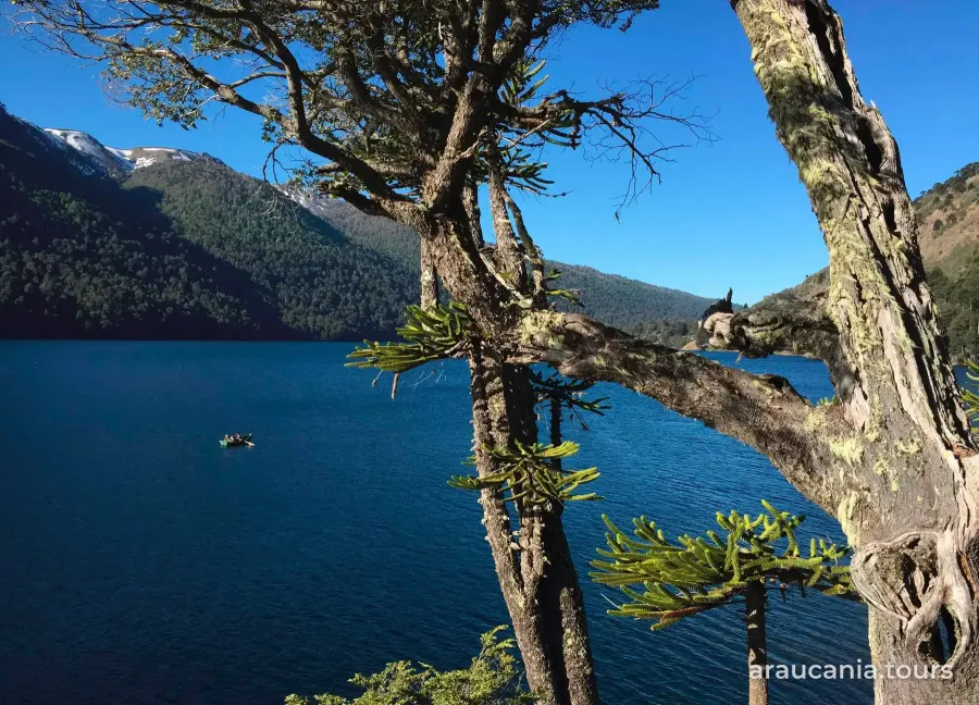
- Moderate: Los Lagos passes Chico, Verde and Toro lakes (source: Sernatur, chile.travel).
- Demanding: El Cañi climbs to the Melidekiñ viewpoint, at 1,550 m, with views of volcanoes such as Villarrica and Llaima (source: Sernatur, chile.travel, 2026); the sanctuary estimates about 8 hours round trip (source: santuariocani.cl). The Villarrica Traverse, 46.5 km, is the park's longest route (source: CONAF).
- Villarrica crater: 3.3 km, demanding (source: CONAF). It's high-mountain terrain and you go with a guide: see Climbing Villarrica volcano.
What's open and what's closed (October 15, 2026)
- Huerquehue: open to visitors since August 12, 2026, only up to the Los Lagos trail sector. Quinchol and San Sebastián remain closed until December 15, 2026 (source: CONAF).
- Villarrica National Park: the Pichillancahue and Glaciar Pichillancahue trails are closed from July 25 to December 31, 2026 (source: CONAF).
- Volcano on yellow alert: Sernageomin, Chile's geological service, raised Villarrica's technical alert from green to yellow on September 4, 2026, with effects limited to the crater area, and Senapred, the disaster agency, declared a preventive early alert for Villarrica, Pucón, Curarrehue and Panguipulli (source: Emol, September 5, 2026). When we reviewed this guide, CONAF's park page listed no trail closures due to the alert beyond Pichillancahue.
- Villarrica National Reserve: closed since September 23, 2026, except the Sollipulli sector, which requires snowshoes, a helmet and crampons (source: CONAF).
Tickets and bookings
- CONAF parks: opening hours and visiting conditions are listed on pasesparques.cl, the ticket website (source: CONAF).
- El Cañi: open all year; book through the system shown on its website, with up to 100 people a day (source: santuariocani.cl).
Season
- All year: Pucón Tourism says you can hike in Huerquehue and Villarrica park all year, preferably in good weather (source: puconchile.travel).
- Winter: Huerquehue's trails may have snow from June to September (source: CONAF).
- Spring: October averages almost 13 rainy days (source: DGA, in Pucón weather month by month). What to wear: What to pack for Araucanía by season.
- Summer: on the crater there is a risk of falling rocks from December to April (source: CONAF). See also summer.
Safety
- Risks: on Villarrica park's long trails, CONAF warns of pumas and rodents that carry hantavirus (source: CONAF).
- Rules: no fire of any kind, no pets and no leaving the trail (source: CONAF).
- Emergencies: CONAF's number is 130 (source: CONAF).
- With a guide: if you book an excursion, check that the operator is listed in the Sernatur registry (serviciosturisticos.sernatur.cl); adventure tourism requires registration under Law 20,423.
- News: in July 2026, after a windstorm, CONAF reopened almost all its areas in Araucanía but kept Villarrica National Park closed because of power and water outages (source: BioBioChile, July 3, 2026).
Information reviewed on October 15, 2026. CONAF opens and closes trails depending on weather, snow and volcanic activity: check conaf.cl and pasesparques.cl before you set out.
Frequently asked questions
What is the best easy hike in Pucón?
CONAF's short trails, such as Ñirrico (828 m) in Huerquehue or Rucapillán (697 m) in Villarrica National Park, are rated easy (CONAF). Ojos del Caburgua and El Claro Waterfall have trails under a kilometer (puconchile.travel).
How long is the Los Lagos trail in Huerquehue?
It's 10.8 km and about 4 hours one way, rated moderate (CONAF). As of October 15, 2026, the park is open to visitors only up to that trail's sector (CONAF).
Which trails are closed in Pucón?
As of October 15, 2026, CONAF keeps Quinchol and San Sebastián in Huerquehue closed until December 15, and Pichillancahue in Villarrica National Park until December 31. Check conaf.cl before you go.
Where do I book national park trails?
On pasesparques.cl, the ticket website, which lists hours and conditions (CONAF). Santuario El Cañi, which is private, has its own booking system (santuariocani.cl).
Sources: CONAF, «Parque Nacional Huerquehue» (conaf.cl, avisos y tabla de senderos, consultado el 15-oct-2026); CONAF, «Parque Nacional Villarrica» (conaf.cl, avisos de cierre de Pichillancahue del 25-jul al 31-dic-2026 y tabla de senderos, consultado el 15-oct-2026); CONAF, «Reserva Nacional Villarrica o Hualalafquén» (conaf.cl, cierre desde el 23-sep-2026, consultado el 15-oct-2026); Santuario El Cañi, santuariocani.cl (consultado el 15-oct-2026); Sernatur, chile.travel, «Santuario El Cañi» (2026) y «Parque Nacional Huerquehue»; Turismo de Pucón (Municipalidad de Pucón), puconchile.travel, «Atractivos naturales» (consultado el 15-oct-2026); Emol, «Sernageomin eleva alerta técnica volcánica» del volcán Villarrica (5-sep-2026); Sernageomin, Reporte Especial de Actividad Volcánica del volcán Villarrica (4-sep-2026); BioBioChile, «Solo uno permanecerá cerrado: Conaf reabre parques nacionales tras temporal en La Araucanía» (3-jul-2026); Explorador Climático CR2, estación DGA Pucón, promedios 1991-2020 (vía la guía «Clima en Pucón mes a mes»); Sernatur, registro de servicios turísticos (serviciosturisticos.sernatur.cl) y Ley 20.423. Revisado el 15-oct-2026.