Curarrehue: where it is, things to do and how to get there
In short
Curarrehue lies 39 km from Pucón and 152 km from Temuco, on the international road that climbs the Trancura valley (Curarrehue Municipality). Its municipal tourism office divides it into four valleys, Trancura, Panqui, Cabedaña and Maichin, plus the town itself, home to the Trawupeyüm Intercultural Village (curarrehueturismo.cl). From Pucón you can get there by car or by rural bus (Meteored, Dec 2025).
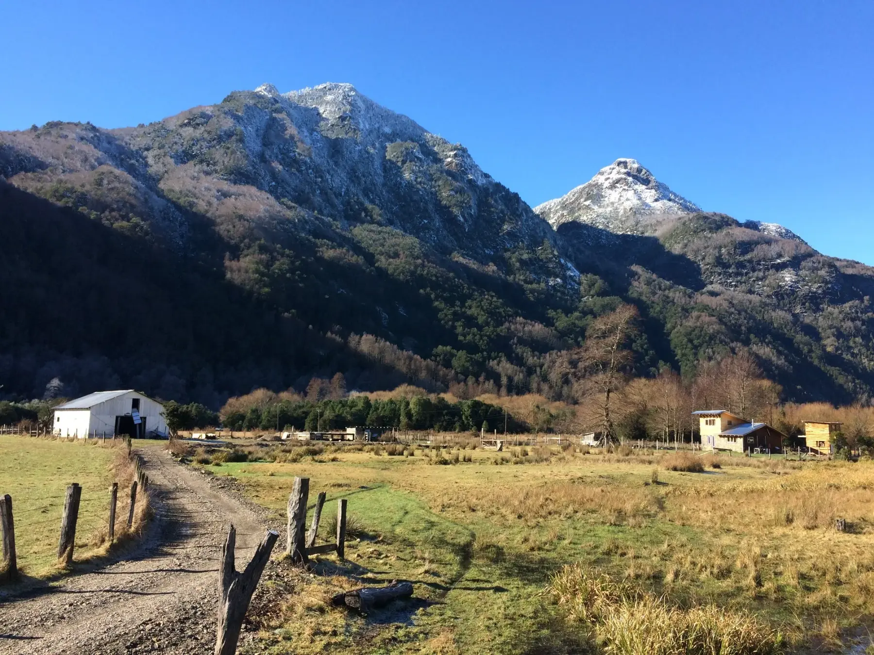
Curarrehue is the most mountainous municipality in the Araucanía Lake District: it lies 39 km from Pucón and 152 km from Temuco, and it was part of Pucón until its own municipality began operating on January 8, 1981 (source: Curarrehue Municipality, "Historia"). The municipality describes it as a special-interest destination, with rivers, volcanoes, hot springs, waterfalls, lagoons and Mapuche culture (same source).
Where is Curarrehue
- In La Araucanía's mountains: it is the most mountainous municipality in the Araucanía Lake District, on the international road that climbs the Trancura River valley towards the Mamuil Malal pass (source: Curarrehue Municipality).
- Distances: 39 km from Pucón and 152 km from Temuco (same source).
- From Pucón: take Route 199, which runs straight into the town center (source: Meteored, December 20, 2025). San Luis Hot Springs are at km 27 of the road (source: Sernatur registry).
Mapuche culture in town
- Trawupeyüm Intercultural Village: next to the main square, it brings together a museum, a cultural center, a crafts market and Mapuche cooking. All the details are on its page: Trawupeyüm Intercultural Village.
- Mapuche cuisine: a BioBioChile article, based on Revista Enfoque, calls Curarrehue "the mecca of ancestral Mapuche cuisine", thanks to its traditional cooks and pine nut (piñón) dishes such as catutos (source: BioBioChile, February 14, 2023). Meteored mentions sopaipillas, ember-baked bread and piñón dishes at the village, and preserves, honey, merkén and maqui and rosehip jams at the cooperatives on the main street (source: Meteored, December 20, 2025).
- Women's cooperative: facing the square is the Zomo Ngen cooperative, which according to Meteored brings together about 130 Mapuche and rural women (same source).
- Fairs: the Walüng Fair, in the Pichi Curarrehue area, runs in January and February with food, music, workshops and cultural activities (source: BioBioChile, 2023). We found no dates for the 2027 season: check with the municipality.
Valleys, waterfalls and rivers
The municipal tourism website organizes the area into four valleys (source: curarrehueturismo.cl, checked on October 15, 2026):
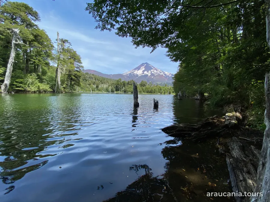
- Trancura Valley: the Trancura River, Quillelhue lagoon, the Caren waterfalls, the Momolluco trail and the Los Sauces footbridge, with views of Lanín volcano. Its name comes from the Mapudungun txankura, "fallen stones".
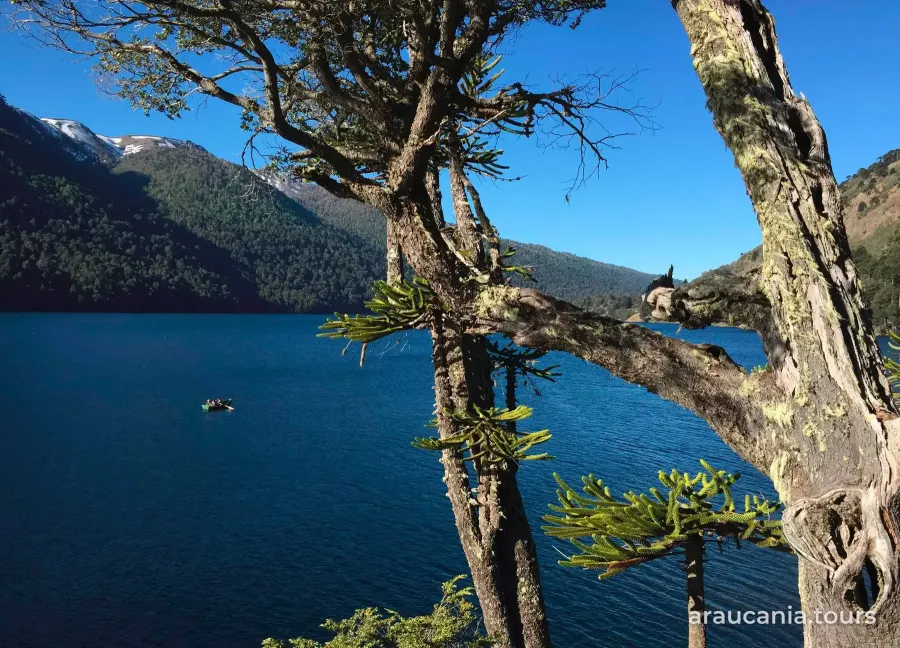
- Panqui Valley: along the Panqui River, with native forest, Alicia lagoon, wetlands and Cerro Wenupinza.
- Cabedaña Valley: the Cabedaña River, the Huampoe River and Huampoe waterfall, with views of Quetrupillán and Lanín volcanoes.
- Maichin Valley: the largest in the municipality, with a strong presence of Mapuche communities, Malalco waterfall and the Huesquefilo, Hualalafquen and Cochor lagoons, up to the Sollipulli snowfields.
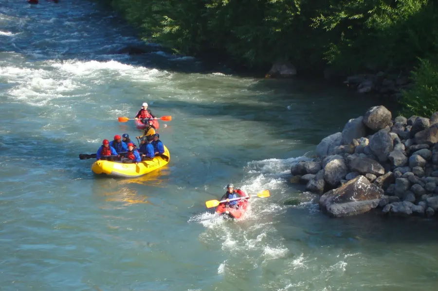
The website gives no distances or access conditions, so ask at the tourism office before you set out. Downstream, the Trancura is the river used for rafting in Pucón (guide: Rafting in Pucón).
Hot springs
Meteored names three hot springs in the municipality: Angostura, about 5 km from town, Panqui and Arrekolawen (source: Meteored, December 20, 2025). On the way to Curarrehue, at km 27 from Pucón, are San Luis Hot Springs. Check that each one is open before you go and look it up in the Sernatur registry at serviciosturisticos.sernatur.cl. More options in Hot springs near Pucón.
Villarrica National Park and Mamuil Malal pass
- Puesco sector: Curarrehue is one of the municipalities of Villarrica National Park. You reach the Puesco sector by following the international road past Curarrehue, using the Mamuil Malal pass as a reference (source: CONAF). Guide: Villarrica National Park: sectors and how to get there.
- Mamuil Malal pass: the road follows the Trancura valley up to this border crossing (source: Curarrehue Municipality). Its status is posted daily on curarrehueturismo.cl; on October 15, 2026 it was open to buses and light vehicles, with snow chains mandatory (source: curarrehueturismo.cl).
Getting there from Pucón
- By car: take Route 199, which leads straight to the town center (source: Meteored, December 20, 2025).
- By bus: rural buses leave Pucón frequently during the day, according to Meteored (same source). There are also buses from Temuco to Villarrica, Pucón and Curarrehue (source: Sernatur, chile.travel, November 2025). Schedules and fares change, so check at the terminal.
- More details in How to get to Pucón and Getting around Araucanía without a car.
Season and weather
- Rain: Curarrehue (420 m) gets about 2,590 mm a year, more than Pucón (source: CR2 Climate Explorer, DGA station, 1991-2020 averages). Month-by-month details in Pucón weather month by month.
- Summer: January and February bring the fairs and the driest days; see summer and spring.
- Villarrica Volcano: Sernageomin has kept it on yellow technical alert since September 4, 2026, and Senapred declared a preventive early alert in Villarrica, Pucón and Curarrehue (source: Sernageomin, September 4, 2026).
Services
The Curarrehue Municipality tourism office is at Avenida Estadio 550 and is open Monday to Friday; its website, curarrehueturismo.cl, lists lodging, food, crafts and guides (source: curarrehueturismo.cl). If you book adventure activities, check that the operator is listed in the Sernatur registry (serviciosturisticos.sernatur.cl), which is mandatory under Law 20,423.
Information reviewed on October 15, 2026. Fairs, the status of the Mamuil Malal pass and hot spring openings change: confirm them with Curarrehue Municipality before you travel.
Frequently asked questions
How far is Curarrehue from Pucón?
39 km along the international road up the Trancura valley; from Temuco it is 152 km (Curarrehue Municipality).
What can I do in Curarrehue?
Visit the Trawupeyüm Intercultural Village, try Mapuche food, explore the Trancura, Panqui, Cabedaña and Maichin valleys, with waterfalls such as Caren, Huampoe and Malalco, and soak in hot springs (curarrehueturismo.cl; Meteored, Dec 2025).
How do I get to Curarrehue without a car?
By rural bus from Pucón, with frequent departures during the day according to Meteored (Dec 2025), or by bus from Temuco (Sernatur, chile.travel). Check schedules at the terminal.
Which hot springs are in Curarrehue?
Meteored names Angostura, about 5 km from town, Panqui and Arrekolawen (Dec 2025); on the way to Curarrehue are San Luis Hot Springs, at km 27 from Pucón (Sernatur registry). Check that they are open before you go.
Sources: Municipalidad de Curarrehue: «Historia» (curarrehue.cl/on/historia/, consultado el 15-oct-2026); Municipalidad de Curarrehue, Turismo: curarrehueturismo.cl, páginas de los valles del Trancura, Panqui, Cabedaña y Maichin, oficina de turismo y estado del paso Mamuil Malal (consultado el 15-oct-2026); CONAF, «Parque Nacional Villarrica» (comunas del parque y acceso al sector Puesco, consultado el 15-oct-2026); Meteored, «El pueblo precordillerano de la Araucanía que sorprende con sus termas y rica herencia mapuche» (Catalina Contreras, 20-dic-2025); BioBioChile, «Gastronomía multicultural y paisajes naturales únicos: conoce los atractivos de la Araucanía Lacustre» (14-feb-2023, con información de Revista Enfoque);Sernatur, chile.travel (buses desde Temuco, noviembre de 2025); Explorador Climático CR2, estación DGA Curarrehue 09412002, promedios 1991-2020; Sernageomin, alerta técnica amarilla del volcán Villarrica (4-sep-2026); registro de Sernatur (Termas de San Luis). Revisado el 15-oct-2026.