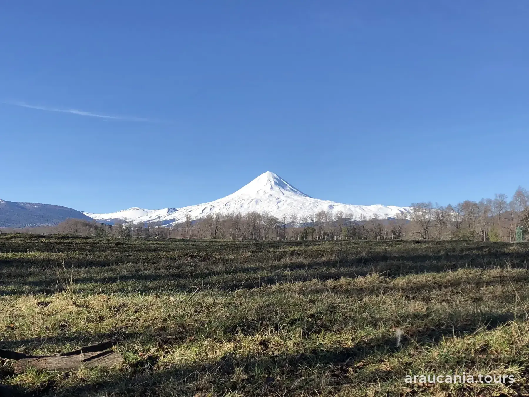

Villarrica National Park: sectors and how to get there
In short
In Araucanía, Villarrica National Park has the Rucapillán entrance, 8 km up the volcano road to the CONAF booth; Quetrupillán, 17 km from Palguín; Puesco, along the international road from Curarrehue; and Huincacara, off the Villarrica-Coñaripe road (CONAF). Tickets are sold at pasesparques.cl, and as of October 15, 2026 the Pichillancahue trail remains closed until December 31, with the volcano on yellow technical alert since September 4 (CONAF; Sernageomin).
Villarrica National Park spreads across Villarrica, Pucón and Curarrehue in Araucanía, and Panguipulli in Los Ríos (source: CONAF). Each sector has its own road and ranger booth: here is how to reach each one, how to buy tickets and what's open today.
Sectors and how to get there
- Rucapillán: the Villarrica Volcano sector. From Temuco it's 112 km via Ruta 5 Sur and route 199; just before Pucón, take the volcano road and drive 8 km to the CONAF booth, where the pavement ends (source: CONAF). Sernatur, Chile's tourism board, puts it about 18 km from Villarrica or Pucón on a mountain road and calls it the closest sector to both towns (source: Sernatur, chile.travel, January 7, 2026).
- Quetrupillán: from Pucón, follow route 199 toward Curarrehue as far as Palguín, where there is a signposted turn-off; from the highway it's 17 km to the booth (source: CONAF). It sits by the Chinay campsite (source: Sernatur, chile.travel).
- Puesco: take route 199 through Villarrica, Pucón and Curarrehue, then the international road toward the Mamuil Malal pass (source: CONAF). For the road, see Curarrehue: things to do and how to get there.
- Huincacara: from Villarrica, take the road to Licán Ray and Coñaripe (S-95-T); the turn-off is at km 7.6 and from there it's 22 km to the booth (source: CONAF). More in How to get to Villarrica and Licán Ray.
- Los Cajones (Los Ríos): from Coñaripe, 15 km of paved road and 13 km of gravel (source: CONAF).
Without a car and in winter
- Without a car: to reach Rucapillán, Sernatur mentions car rental and authorized transfer or tour services (source: Sernatur, chile.travel). We found no official source on regular buses to the park booths. To reach the area first, see How to get to Pucón.
- Chains: in winter, snow chains are mandatory on the park's access roads (source: Sernatur, chile.travel).
Tickets and bookings
- Where to buy: at pasesparques.cl, which sells one ticket for the northern sector, in Araucanía, and another for the southern sector, accessed from Coñaripe (source: pasesparques.cl). CONAF refers visitors to that site for hours and conditions (source: CONAF).
- Climb and traverse: pasesparques.cl sells separate "Ascensión Volcán" and "Villarrica Traverse" passes (source: pasesparques.cl). To climb to the crater, see Climbing Villarrica volcano.
- How to buy: you pick a date on a calendar, prices vary by age, and Chilean and foreign visitors are added separately to the same cart (source: pasesparques.cl).
- Opening hours: they may change due to weather or safety (source: pasesparques.cl).
- Registration: when crater climbs reopened in November 2024, one of the requirements was to register at the park's access checkpoints, according to CONAF (source: BioBioChile, November 23, 2024).
What's open today (October 15, 2026)
- Closed: the Pichillancahue trail in Araucanía and the Glaciar Pichillancahue trail in Los Ríos, from July 25 to December 31, 2026 (source: CONAF). The pasesparques.cl page gives July 28 as the start of the closure (source: pasesparques.cl); either way, it's still closed today.
- The volcano: Sernageomin, Chile's geological service, changed Villarrica's technical alert from green to yellow on September 4, 2026 because its lava lake was rising, with effects limited to the crater area (source: Sernageomin, special report of September 4, 2026). Senapred, the disaster agency, declared a preventive early alert for Villarrica, Pucón, Curarrehue and Panguipulli (source: Emol, September 5, 2026).
- No other closures reported: when we reviewed this guide, CONAF reported no closures due to the alert apart from Pichillancahue.
- Weather closures: on September 5, 2026, the Araucanía section closed because of a strong wind forecast (source: El Periodista, September 5, 2026), and in July 2026 the park stayed closed after a windstorm because of power and water outages (source: BioBioChile, July 3, 2026).
- Wildfires: in January 2026, access to national parks was suspended under a red wildfire alert, and crater climbs with it (source: Pucón Municipality, January 23, 2026).
Seasons
- Winter: chains are mandatory (source: Sernatur) and there is avalanche risk from June to September on the Los Ríos trails (source: CONAF). Sernatur mentions Pucón Ski Center on the volcano's lower slopes (source: Sernatur, chile.travel).
- Summer: on the crater there is a risk of falling rocks from December to April (source: CONAF).
- Trails with distance and level: Hiking in Pucón: trails by level.
Services and rules
- Services: CONAF lists trails, picnic areas, a viewpoint, ski runs, horse rental and camping, although the same page says there are no camping areas (source: CONAF).
- Accessibility: in Araucanía there are trails for people with reduced mobility, a rope guide system for blind visitors, an information center with a ramp, an accessible restroom and two single-wheel chairs on loan (source: CONAF).
- Rules: fire of any kind is banned (Law 20,653), as are pets, leaving the trails and flying drones without permission (source: CONAF).
- Contact: parque.villarrica@conaf.cl; emergencies, 130 (source: CONAF).
Information reviewed on October 15, 2026. Open sectors change with the weather and the volcano's activity: check conaf.cl, pasesparques.cl and sernageomin.cl before you set out.
Frequently asked questions
How do I get to Villarrica National Park from Pucón?
For the Rucapillán sector, take the volcano road, which leaves just before Pucón: it's 8 km to the CONAF booth, where the pavement ends (CONAF). For Quetrupillán, take route 199 to Palguín and drive 17 km from the turn-off (CONAF).
Where do I buy tickets for Villarrica National Park?
At pasesparques.cl, which sells tickets for the northern sector (Araucanía) and the southern sector (Coñaripe), plus separate passes for the volcano climb and the traverse (pasesparques.cl). Prices and hours change, so check there.
What sectors does Villarrica National Park have?
In Araucanía, CONAF lists the Rucapillán, Quetrupillán, Puesco and Huincacara entrances, and in Los Ríos, Los Cajones, reached from Coñaripe (CONAF).
Is Villarrica National Park open during the yellow alert?
As of October 15, 2026, CONAF's page only reports the Pichillancahue trail closed until December 31 (CONAF). The volcano has been on yellow technical alert since September 4 (Sernageomin): check conaf.cl before you go.
Sources: CONAF, «Parque Nacional Villarrica» (conaf.cl: cómo llegar a Puesco, Rucapillán, Quetrupillán, Huincacara y Los Cajones; aviso de cierre de Pichillancahue del 25-jul al 31-dic-2026; servicios, accesibilidad y prohibiciones; consultado el 15-oct-2026); Pases Parques, pasesparques.cl (portada con los pases del parque, «Entrada Parque Nacional Villarrica Norte», «Parque Nacional Villarrica Sur» y ficha «Villarrica Norte - Villarrica Traverse»; consultados el 15-oct-2026); Sernatur, chile.travel, «Parque Nacional Villarrica» (actualizado el 7-ene-2026); Sernageomin, Reporte Especial de Actividad Volcánica, volcán Villarrica (4-sep-2026); Emol, «Sernageomin eleva alerta técnica volcánica» (5-sep-2026); El Periodista, «Volcán Villarrica aumenta su actividad: Sernageomin eleva alerta a Amarilla y Senapred activa prevención en cuatro comunas» (5-sep-2026); BioBioChile, «Solo uno permanecerá cerrado: Conaf reabre parques nacionales tras temporal en La Araucanía» (3-jul-2026) y «Reanudan ascensos a cráter de volcán Villarrica: permaneció cerrado por dos años» (23-nov-2024); Municipalidad de Pucón, «Gremios turísticos y el Municipio de Pucón piden autorizar acceso al Volcán Villarrica para ascensos al cráter» (23-ene-2026). Revisado el 15-oct-2026.