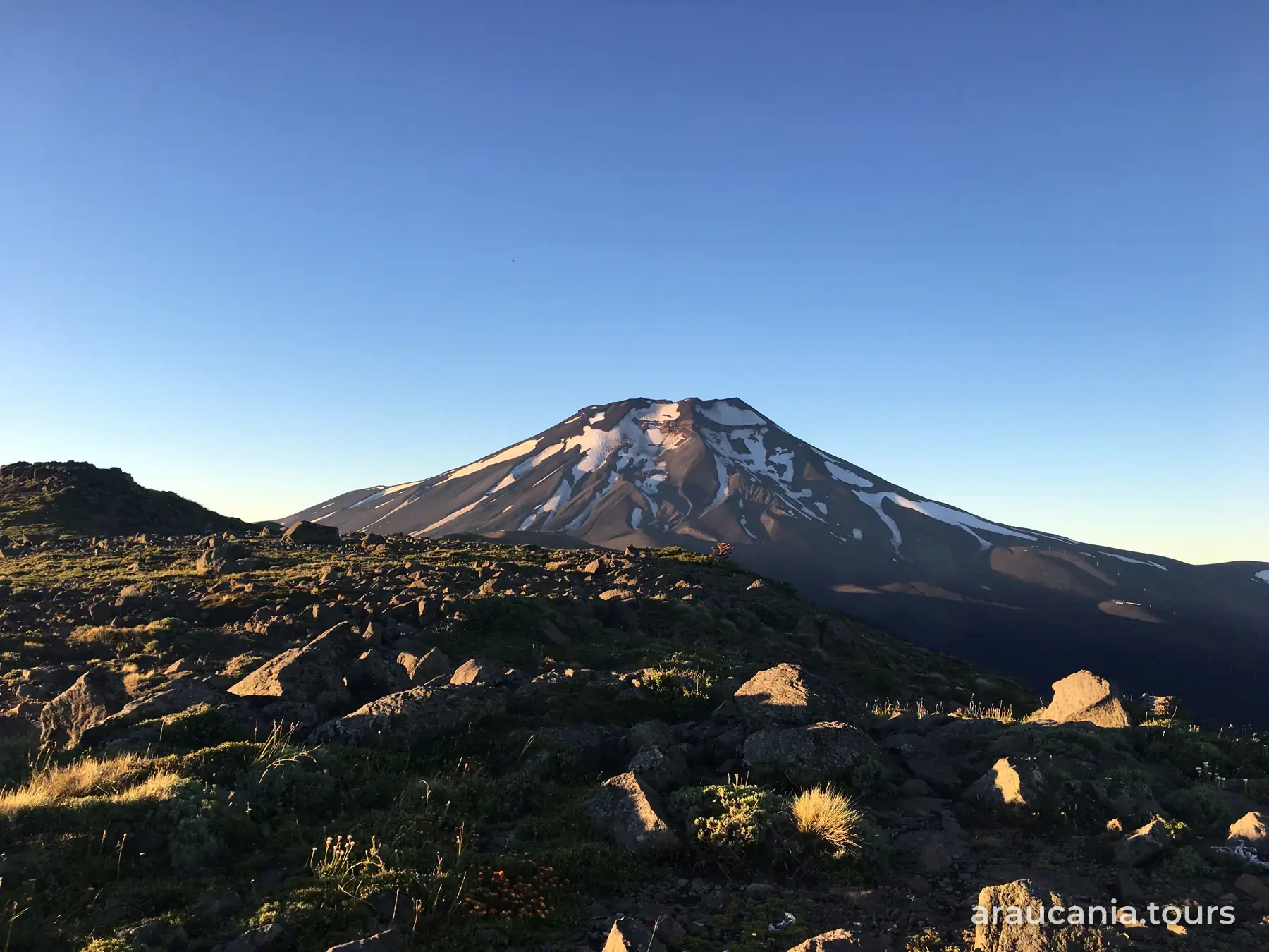

How to get to Andean Araucanía
In short
Andean Araucanía is reached through Temuco: Curacautín is 84 km away via Lautaro, Melipeuco about 100 km on route S-51 and Lonquimay 156 km, through the Las Raíces tunnel. Daily buses run from Temuco to the towns, but not to the parks; in winter carry snow chains and, on gravel mountain roads, use a 4x4.
Andean Araucanía is the region's mountain zone: the circuit covers the districts of Curacautín, Lonquimay, Melipeuco, Cunco and Vilcún (source: Curacautín Municipality, presentation published by Sernatur, June 2025). Everything starts in Temuco, the arrival city. This guide shows you the gateways to the area; for each town in detail, we link to the guides by Araucanía Andina.
First, get to Temuco
- By plane: fly into La Araucanía Airport (ZCO), in Freire, 25 km south of Temuco; from there continue by rental car, transfer or bus (source: Sernatur, chile.travel, January 2026).
- From Temuco the trip to the Andean area takes almost two hours (same source).
- If you are heading to the lakes afterwards, see How to get to Pucón.
Northern gateway: Curacautín and Malalcahuello
- Curacautín is 84 km from Temuco: Route 5 north to Lautaro, then the road to Curacautín (source: Araucanía Andina). Sernatur describes the same exit at Lautaro and route CH-181 (source: Sernatur, chile.travel, January 2026).
- Coming from northern Chile, leave Route 5 at Victoria and take route CH-181 to Curacautín (source: Sernatur, chile.travel, May 2026).
- Malalcahuello is further along CH-181: it is about 120 km from Temuco to this area, home to Malalcahuello Hot Springs, Malalcahuello National Reserve and Corralco Ski Resort (source: Sernatur, chile.travel, January 2026).
- Curacautín is also the way into Tolhuaca National Park: 35 km of gravel, with no public transport (source: Sernatur, chile.travel).
- Full guide to the area (in Spanish): how to get to Andean Araucanía, on Araucanía Andina.
- Step by step (in Spanish): how to get to Curacautín and how to get to Malalcahuello, on Araucanía Andina.
Lonquimay and the Las Raíces tunnel
- Lonquimay is 156 km from Temuco via Lautaro and Curacautín, or 186 km via Victoria; both roads are paved (source: Subdere, district profile).
- You get there through the Las Raíces tunnel, 4,528 meters long (source: Subdere), the fifth longest road tunnel in Latin America (source: Marca Chile). There are traffic lights at both ends and you may have to wait (same source).
- In winter the Las Raíces pass, the alternative road over the top, is closed (source: Araucanía Andina).
- From Lonquimay you can continue to the Icalma area and Laguna Chica de Icalma (source: Araucanía Andina).
Southern gateway: Melipeuco, Cunco and Vilcún
- Melipeuco is about 100 km from Temuco, close to two hours by car, on route S-51 (source: Sernatur, chile.travel, January 2026), which runs through Cunco (source: Sernatur, chile.travel, May 2026). The road is fully paved (source: Subdere).
- Vilcún is the district of Las Araucarias Ski Resort, on the western slope of Llaima volcano, about 79 km from Temuco through the Los Paraguas sector (source: Araucanía Andina).
To Conguillío National Park
Conguillío National Park has two entrances from Temuco: the northern one, via Curacautín, 85 km, and the southern one, via Melipeuco, 120 km. The roads are mostly gravel and in winter you may need a 4x4 (source: Sernatur, chile.travel, January 2026). See the detailed route (in Spanish) in how to get to Conguillío National Park, by Araucanía Andina.
By bus
- Direct buses run from Temuco to Curacautín, Lonquimay and Melipeuco (source: Sernatur, chile.travel, January 2026); buses to Melipeuco leave daily from the Temuco bus terminal (same source).
- Buses reach the towns. There is no public transport to Tolhuaca National Park (source: Sernatur, chile.travel); for the parks, the practical options are a car, a transfer or a registered tour operator (source: Sernatur, chile.travel, January 2026).
- Timetables and fares: check with each company or at the terminal.
In winter
- In the high mountains, snow chains are mandatory during heavy snowfall (source: Sernatur, chile.travel, January 2026). Carry them even if the road is paved.
- For Conguillío, some entrances may require a 4x4 (same source). In winter, four-wheel drive is mandatory on the road to China Muerta National Reserve, from Melipeuco (source: Araucanía Andina).
- Before you set off, check road conditions with Vialidad (Ministry of Public Works) and Carabineros. More ideas in winter in La Araucanía.
Information reviewed on October 15, 2026. Roads, snow closures and bus timetables change: confirm them before you travel.
Frequently asked questions
Which districts make up Andean Araucanía?
Curacautín, Lonquimay, Melipeuco, Cunco and Vilcún (Curacautín Municipality, presentation published by Sernatur, June 2025).
How do I get from Temuco to Curacautín?
It is 84 km: Route 5 north to Lautaro, then the road to Curacautín (Araucanía Andina). There are also direct buses from Temuco (Sernatur, chile.travel, January 2026).
How far is Lonquimay from Temuco?
156 km via Lautaro and Curacautín, or 186 km via Victoria, all paved, through the 4,528-meter Las Raíces tunnel (Subdere).
Do I need a 4x4 to visit Conguillío National Park?
The access roads are mostly gravel and in winter some may require a 4x4: 85 km from Temuco via Curacautín or 120 km via Melipeuco (Sernatur, chile.travel, January 2026).
Do I need snow chains in winter?
Yes: in the high mountains chains are mandatory during heavy snowfall (Sernatur, chile.travel, January 2026). Check road conditions before you set off.
Sources: Municipalidad de Curacautín, «ZOIT Curacautín», presentación publicada en sernatur.cl (junio de 2025); Sernatur, chile.travel: «Araucanía Andina» (actualizado el 7-ene-2026), «Melipeuco» (7-ene-2026), «Parque Nacional Conguillío» (7-ene-2026), «Viaje mágico: itinerario de 2 días por La Araucanía» (15-ene-2026), «Vive la temporada de nieve en Corralco y el sur de Chile» (2-ene-2026), «7 maravillas de la Araucanía Andina» (18-may-2026), ficha del Parque Nacional Tolhuaca; Subdere, fichas comunales de Lonquimay y Melipeuco (sin fecha); Araucanía Andina (araucaniaandina.com): cómo llegar a Curacautín, túnel Las Raíces, Las Araucarias y Reserva Nacional China Muerta. Revisado el 15-oct-2026.